
Curator’s statement
I’ve made this crossing myself, and it’s one of the few trips that genuinely changes your sense of scale. You start in the Atacama, the driest desert on Earth, and spend eight days moving through mineral-bright Bolivian lagoons, a prehistoric geyser field at nearly 16,000 feet, a desert littered with wind-sculpted rock, and finally, the largest salt flat on the planet. This route is for travelers who want to feel genuinely small in the world: no beach clubs, no resort pools, just some of the most remote and cinematic terrain in the Southern Hemisphere. It needs to be planned right, and when it is, it stays with you permanently.
The Fora Difference
Book with Journeys with JB to access exclusive perks and experiences on your trip.

Killer perks
Free upgrades, spa credits and more—we got you

Personalized recs
Customized travel planning for your style

Insider knowledge
Expert advice from people who’ve actually been there
Where to stay
Unlock perks by contacting Journeys with JB to book your trip.
Day 1: Arrival in San Pedro de Atacama
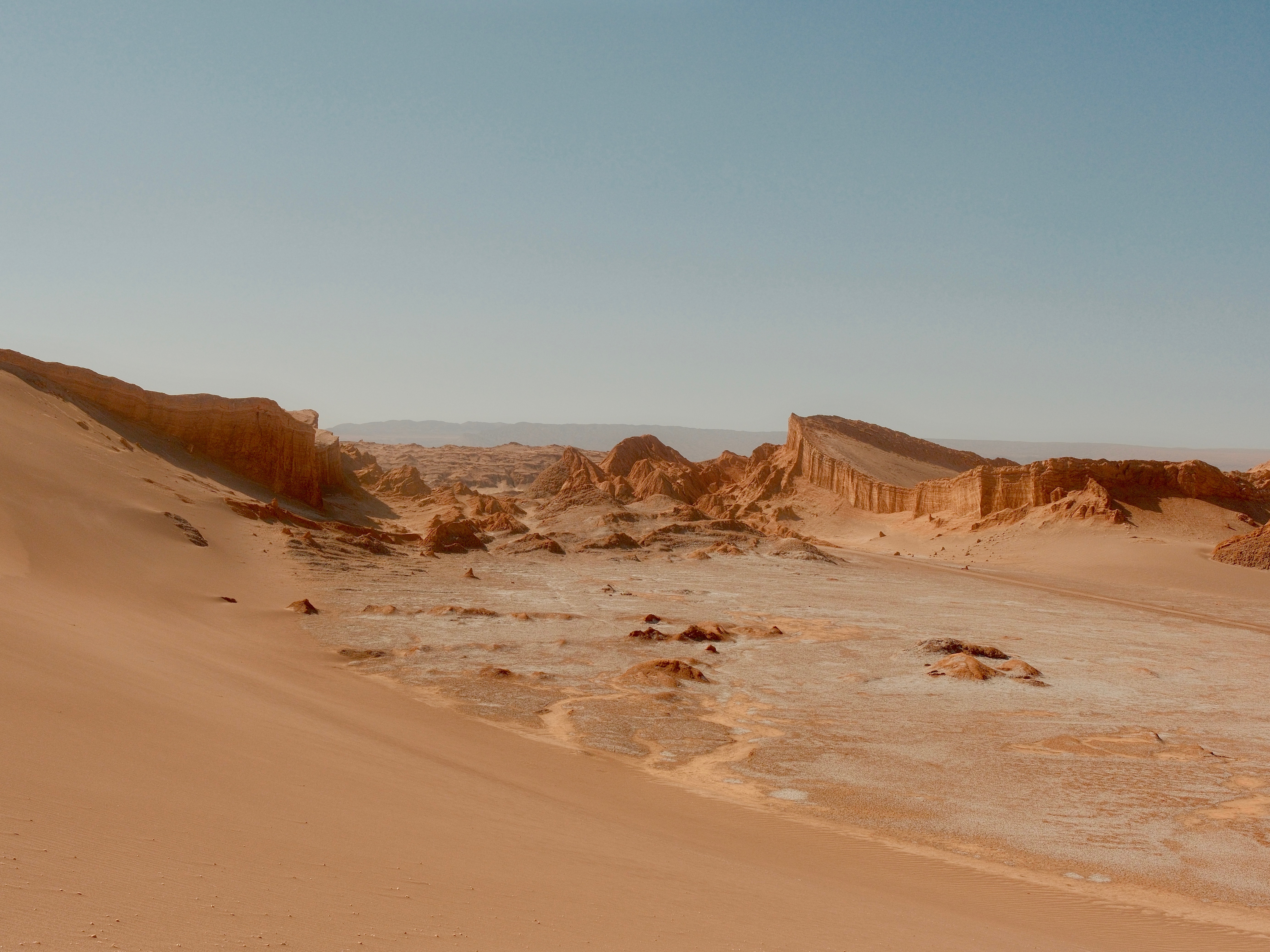
The Atacama Desert is the closest thing to Mars on Earth. Photo by Jea B.
Fly into Santiago and connect to Calama (CJC), where your private driver meets you for the ninety-minute transfer south to San Pedro de Atacama at 7,900 feet. This is the lowest altitude of the entire trip, and your body needs the buffer. You’ll be climbing to over 15,000 feet in Bolivia on day four, so day one is intentionally slow. Drink water from the moment you land, skip the alcohol, and sleep early. The village of San Pedro is worth a quiet evening wander: adobe streets, a small central plaza, and a handful of good restaurants serving Chilean wine and local ingredients. Let the altitude introduce itself on its own terms.
Day 2: Valle de la Luna, Laguna Cejar & the Observatory
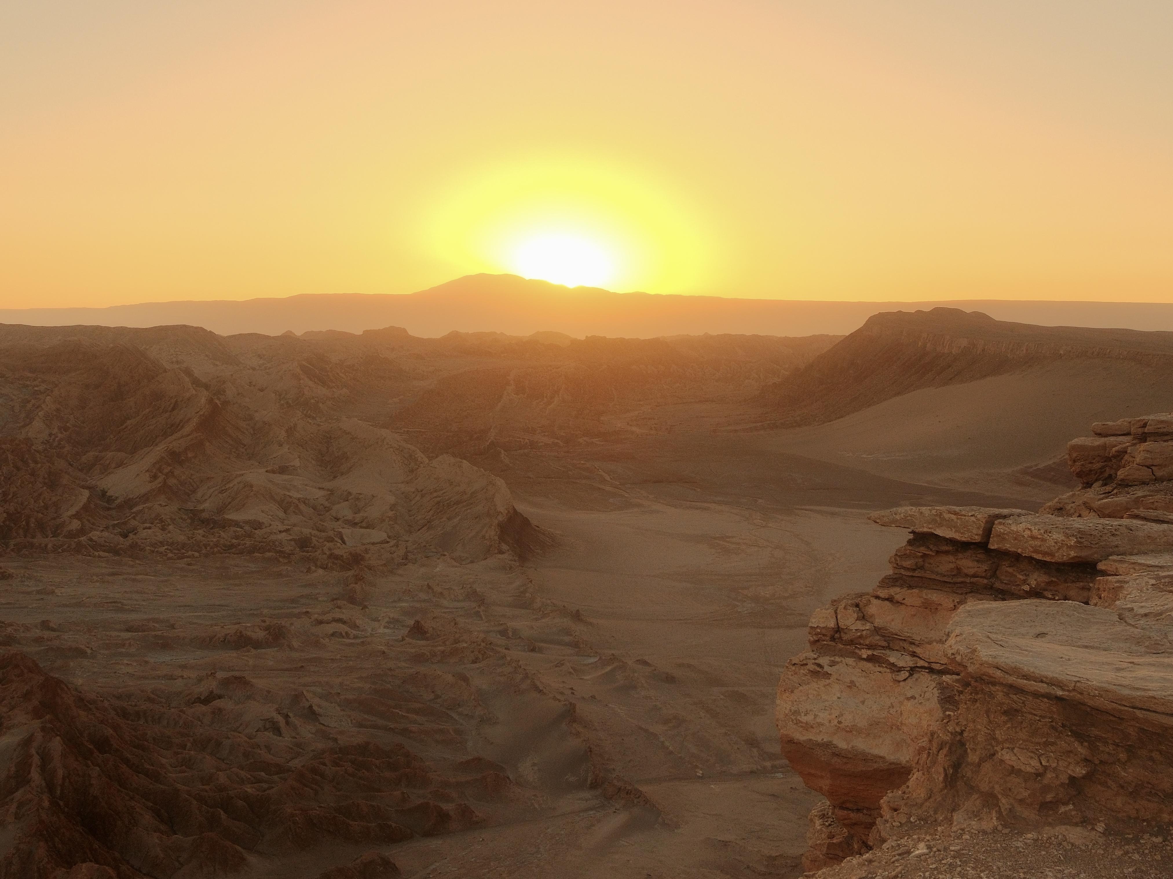
Golden hour in Valle De La Luna. Photo by Jea B.
Today is your first full day of exploration. Start with Laguna Cejar in the morning: a series of salt-rimmed lagoons where the water is so dense with minerals you float without effort; the Licancabur volcano holding the horizon the entire time.
In the afternoon, head to Valle de la Luna for golden hour: copper-colored dunes, salt rock formations, and a sky that turns colors most people only see in photographs. Both excursions run as part of your all-inclusive program, so your guides handle all the logistics.
End the evening stargazing, with virtually no light pollution, the Milky Way is overhead in a way that genuinely stops people mid-sentence.
Day 3: El Tatio geysers at dawn
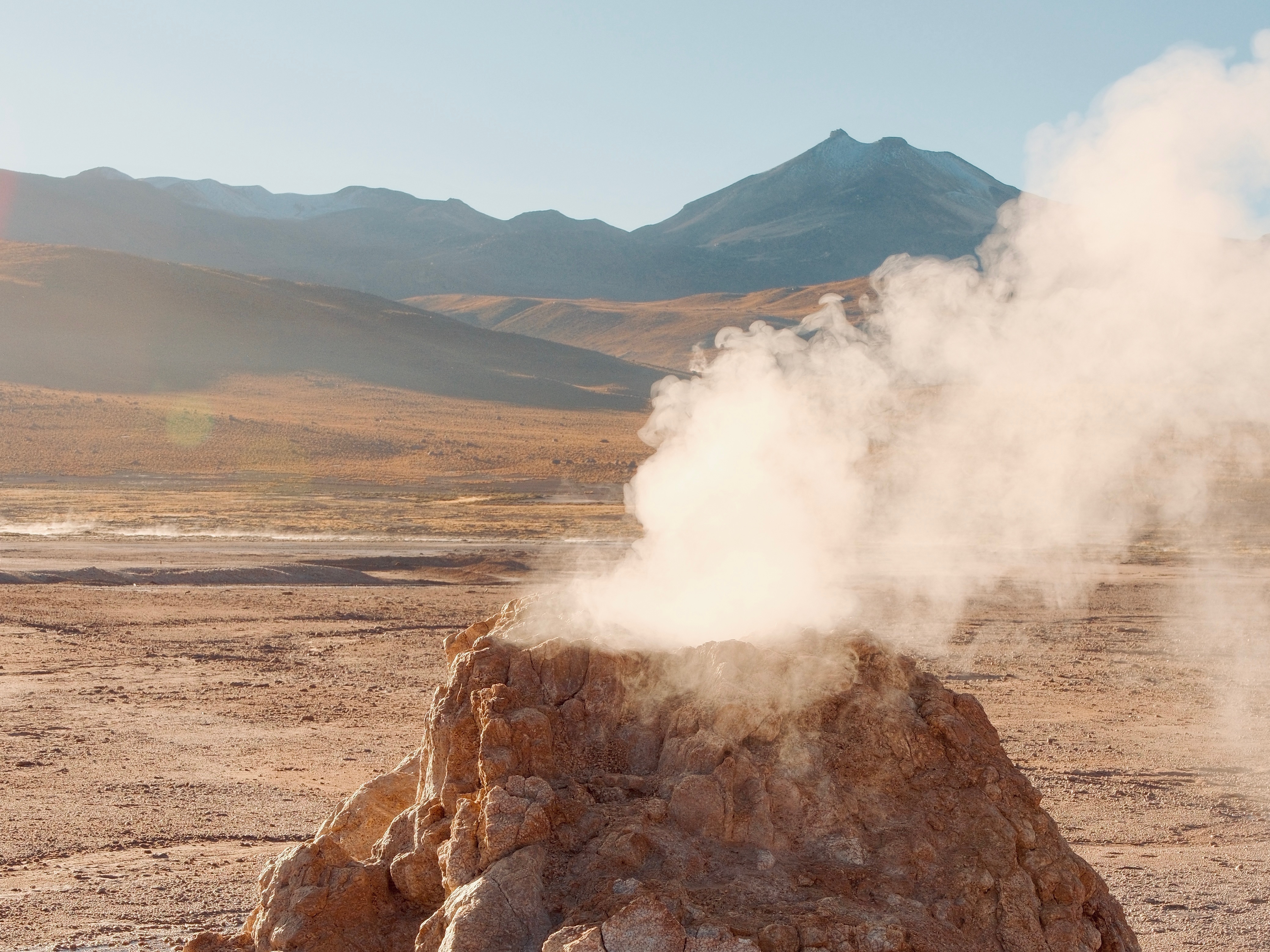
El Tatio geysers at dawn. Photo by Jea B.
Set your alarm for 4 a.m. The departure for El Tatio is early and cold, and it is completely worth it. El Tatio is one of the highest geyser fields in the world, sitting at over 14,000 feet on the Andean plateau, and at sunrise the steam columns rise against a sky that is just starting to go pink at the edges. Walk between the fumaroles, watch the boiling pools, and understand that you are standing on top of something very much alive. By mid-morning, the geysers quiet down and the day opens up.
Use the afternoon to rest, get a massage, and eat a real meal. Tomorrow, the crossing into Bolivia begins and the pace of the trip shifts completely.
Day 4: The crossing into Bolivia
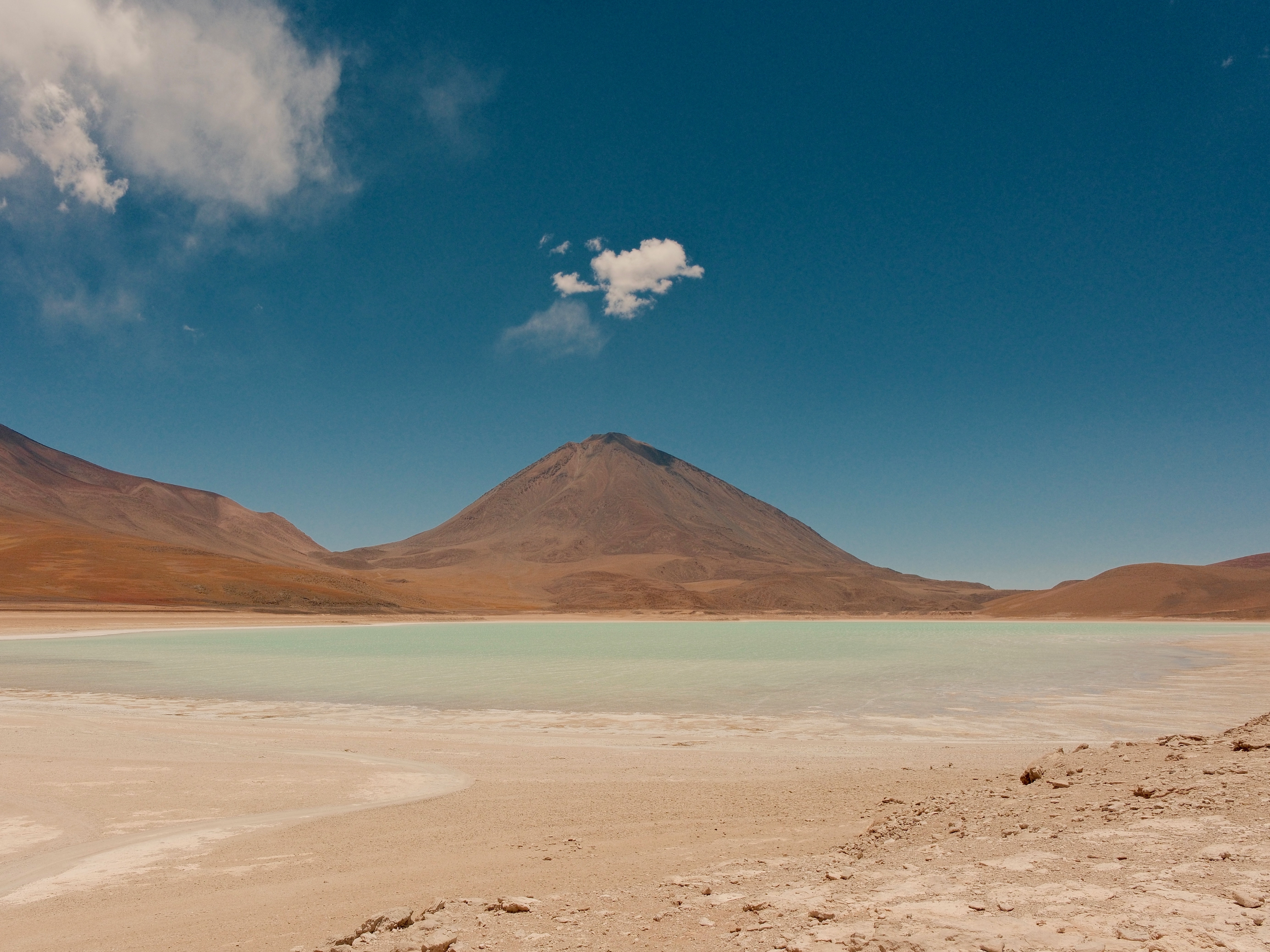
Laguna Verde with Licancabur Volcano. It literally looked like a painting. Photo by Jea B.
Day four is when the trip shifts register entirely. Your guide and 4x4 collect you in the morning and the crossing starts. From this moment forward it's a fully private vehicle, just your group, your guide, and your driver, equipped with satellite communications, GPS, and supplemental oxygen. The border crossing at Hito Cajón is a small, high-altitude post; Bolivian formalities take about an hour.
On the other side, the landscape resets completely: Laguna Verde sits at the foot of Licancabur volcano, its water the color of green sea glass, perfectly reflected on calm mornings. Further on, Sol de Mañana is a geyser field at 15,900 feet that smells like the inside of the earth: boiling mud pits, fumaroles, hard light, bitter cold.
By late afternoon you reach Laguna Colorada, a wide red lagoon stained by mineral algae and thick with Andean, James's, and Chilean flamingos feeding in the shallows. You end the day at your first camp inside the Eduardo Avaroa Reserve: heated tents, a hot dinner, and the southern sky doing whatever it wants above you.
Day 5: The Stone Tree & the Siloli Desert
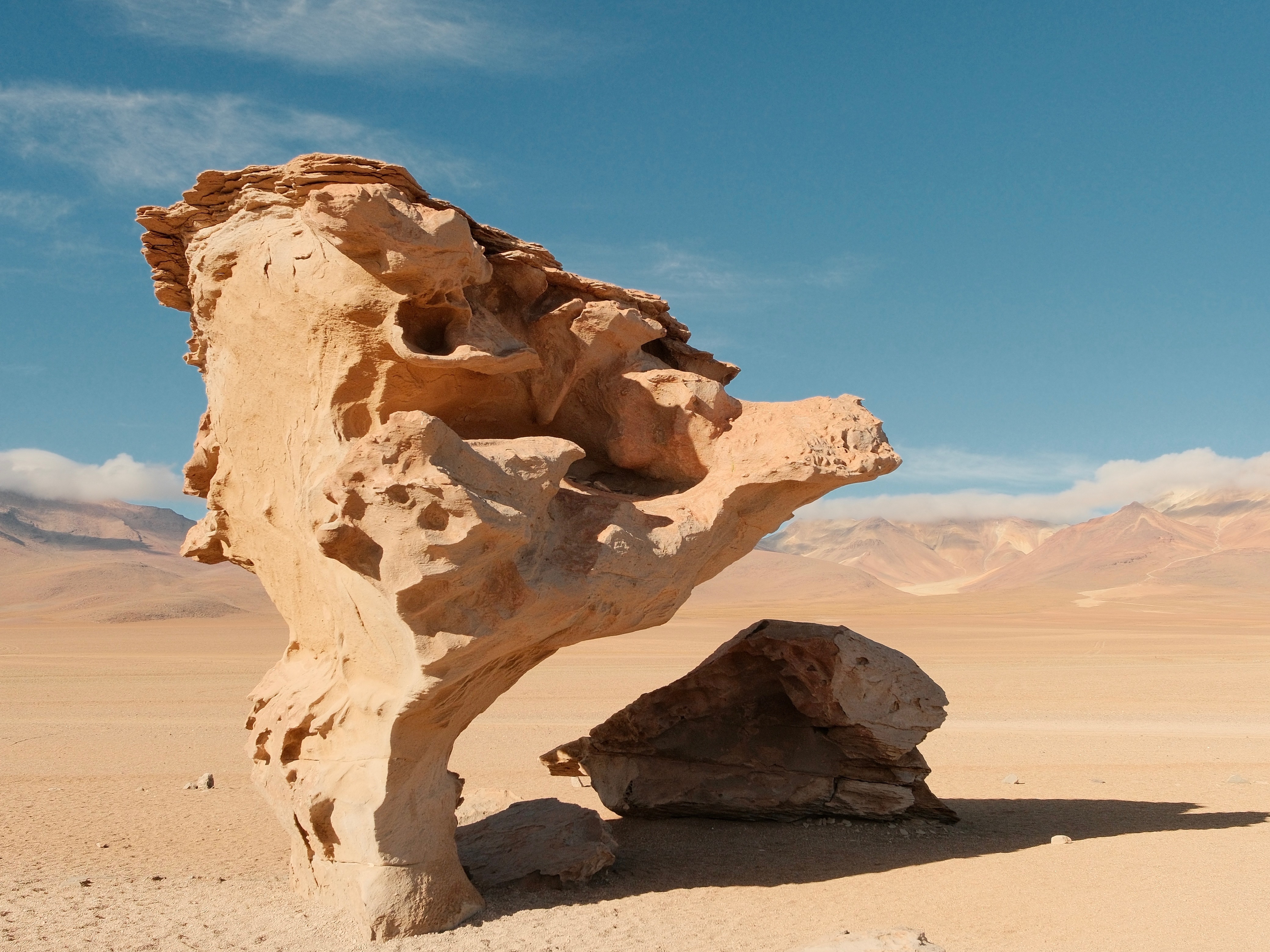
Árbol de Piedra ("Stone Tree"). Photo by Jea B.
Day five crosses the Siloli Desert, a high-altitude wind-sculpted plateau the color of bone. Halfway across it stands the Árbol de Piedra (the Stone Tree). A six-meter rock formation carved by six thousand years of altiplano wind into something that shoshouldn’tuldn't exist. Walk around it, feel appropriately small, and keep moving.
Viscachas sun themselves on nearby rocks completely unbothered by your presence. By afternoon the route reaches Turquiri Lagoon, set in a quiet basin where vicuña come down to the water at the edge of the day, before continuing to your second camp for the second night in the backcountry. The rhythm is the same as the night before: drive, stop, walk, eat, sleep early... and it works.
Day 6: Descent to the Salt Flat
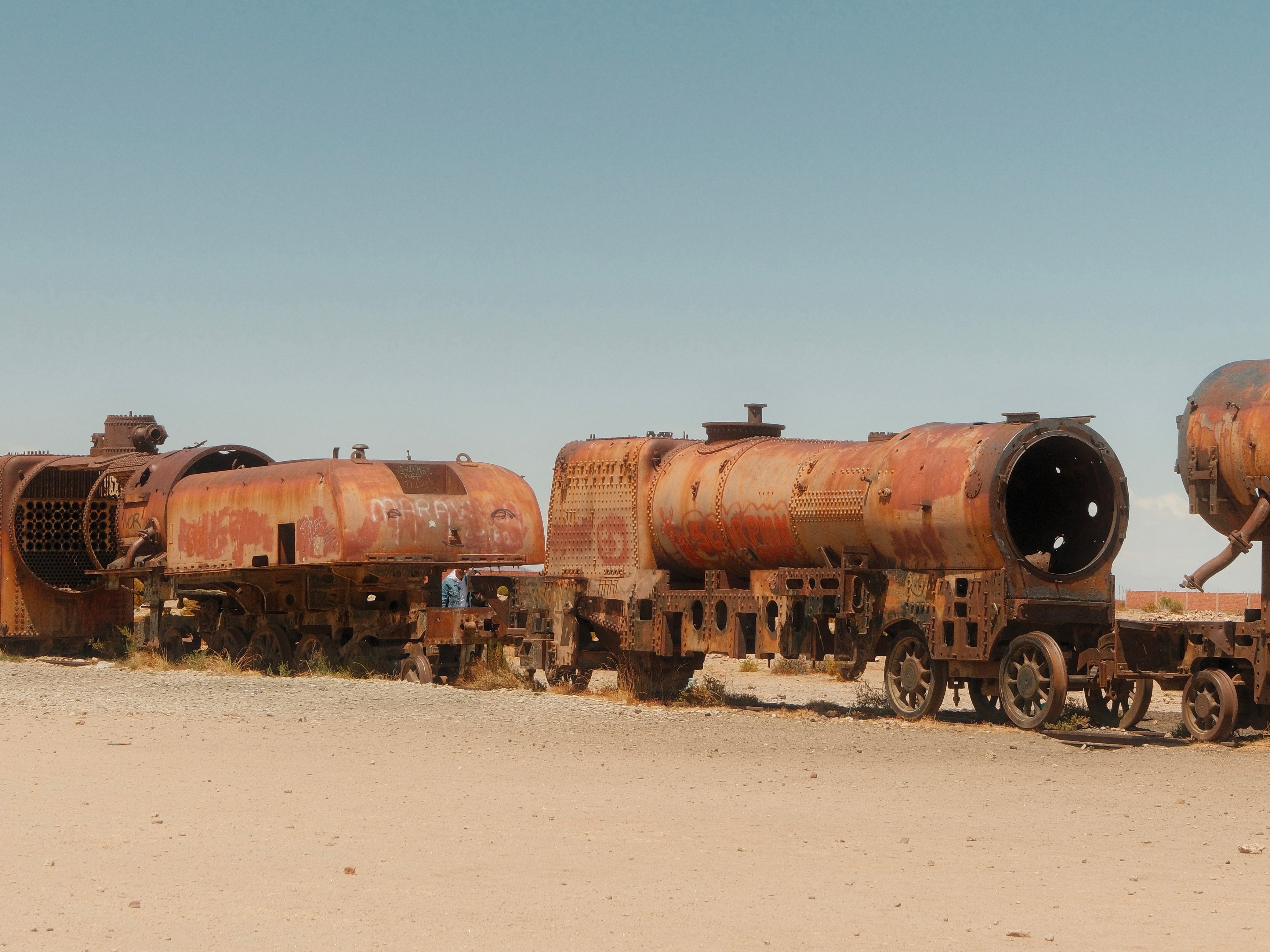
Cementerio de Trenes. Photo by Jea B.
Day six is the descent, and the landscape softens as you lose altitude. The route drops through a towering cactus forest, past the abandoned stone walls of San Pedro de Quemes, a former Spanish settlement left behind after the Pacific War.
By midday you reach the eastern edge of the Salar de Uyuni, with Isla Pescado, a cactus-covered rock outcrop standing alone in the white, as your first salar landmark. The route swings past the Cementerio de Trenes on the way in: rusted nineteenth-century steam locomotives abandoned on the salt, a quiet and strange ten-minute detour.
By late afternoon, you arrive at your lodge to relax.
Day 7: The Salar de Uyuni
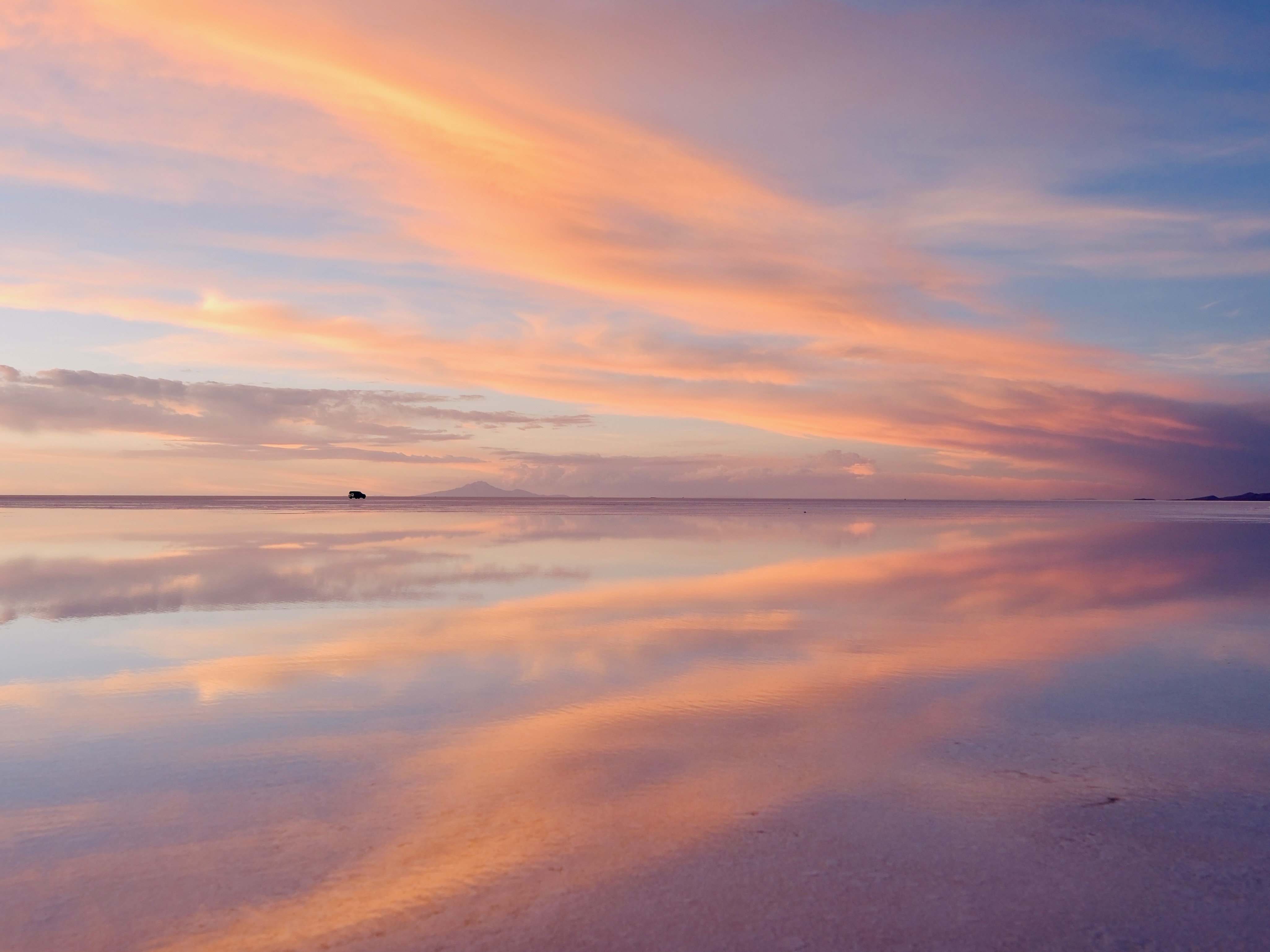
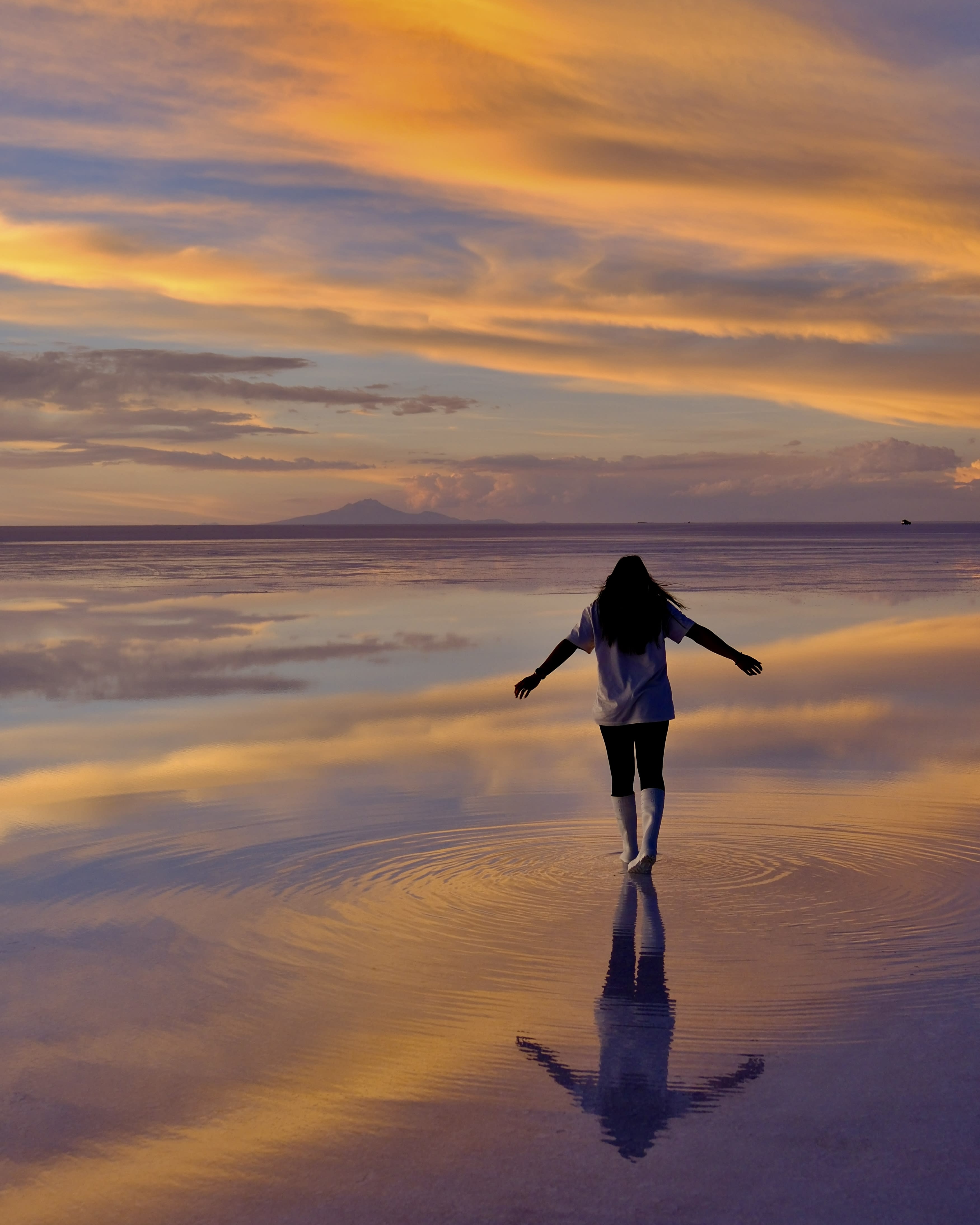
Salar de Uyuni, where the sky meets the earth. Photo by Jea B.
You leave camp before sunrise. The Salar de Uyuni is more than 10,500 square kilometers of salt. It’s bigger than Lebanon and nothing prepares you for the scale of it once you’re on it. In the dry season, it is a hexagonal-tiled white plain that stretches past every horizon.
In the wet season, a few inches of standing water turns it into the largest natural mirror in the world, where your reflection meets the sky. You spend the morning driving across the salt, stopping to walk it, to take the perspective photos, to find a quiet spot and just stand there. Lunch can be set up on the salt itself: a table, two chairs, white in every direction. Sunset on the salar, if you’ve timed the season right, is the moment most travelers remember above everything else on the trip.
Luckily for me when I went in January, the salar had parts that were still dry and parts that where the reflection was just absolutely breathtaking.
Day 8: Departure or extension
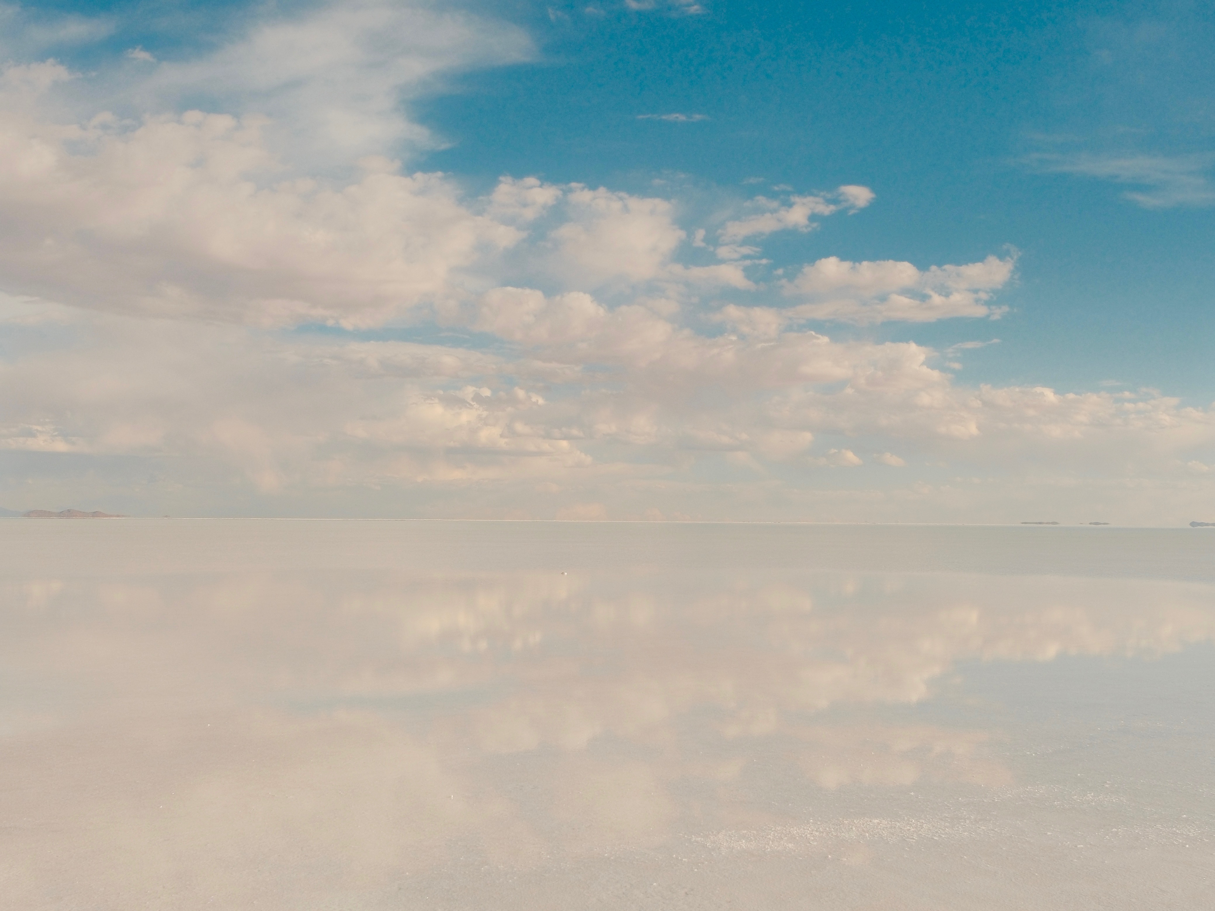
It really looks and feels like another planet. Photo by Jea B.
The crossing ends at Uyuni, and that’s intentional. The trip points one direction the whole way, and on day eight you decide what comes next. The cleanest exit is a flight from Uyuni (UYU) to La Paz, with same-day connections to Santiago, Lima, or São Paulo for the long-haul home.
If you want to decompress before the flight back, a night in La Paz (cable cars over the city, a good final dinner at altitude) or Sucre (white colonial architecture, lower elevation, slower pace) takes the edge off nicely.
Need to know
Altitude: Three nights in Atacama at 7,900 feet before crossing into Bolivia is non-negotiable. It’s your buffer before hitting 15,900 feet on day four. Talk to your doctor about a Diamox prescription before you go. Certain companies bring supplemental oxygen and guides are Wilderness First Responder certified.
When to go: December through April brings the mirror effect, where a thin layer of water turns the salar into a reflection of the sky. May through November is dry, reliable, and sharply beautiful. Late March to early April is the sweet spot: mirror still present, roads passable, crowds minimal.
Entry requirements: No visa required for U.S. passport holders. You’ll get stamped at the Hito Cajón border crossing into Bolivia. Passport needs at least six months validity and two blank pages.
Packing: Layers are everything. Days hit 70°F and nights drop below freezing. High SPF, polarized sunglasses, and a brimmed hat are non-negotiable at this altitude. Waterproof boots for wet season salar days. Dry bag for your camera near geysers and lagoons.
Connectivity: Expect two full days off-grid with limited connectivity. Download what you need, notify your contacts, and embrace it. Most travelers consider it one of the highlights.


Travel Advisor
Journeys with JB

Jea Breshears

Get in touch with Journeys with JB
Did you like this guide? Reach out to customize and book your own experience. Or, just to chat about travel in general.